Measure the whole house
from your desk.
Measure any home from a photo or satellite map and turn linear feet into a priced estimate in minutes — no ladder, no tape measure.
 Roofline measured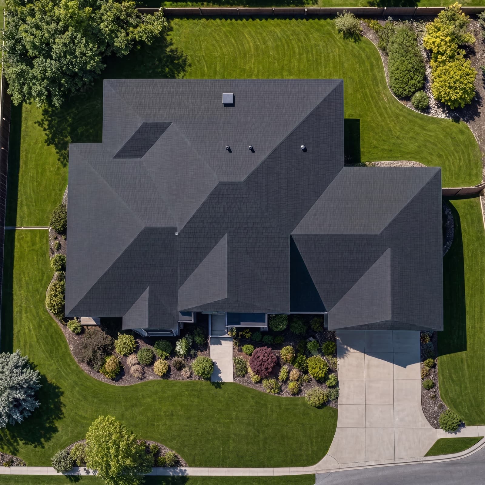
Drag to compare the raw satellite image with the traced roofline.
- Total linear feet
- 154 ft
- Pitch-corrected length
- 171 ft+11% (6/12 pitch)
- Estimated cost
- $2,394
Two ways to measure
A photo, or the satellite view
Whatever you have on hand, QuickMeasure turns it into accurate linear feet.
Measure from a photo
Drop a 4-point rectangle on a known object and QuickMeasure runs true perspective correction to turn pixels into real feet — even on angled or aerial shots.
 Roofline measured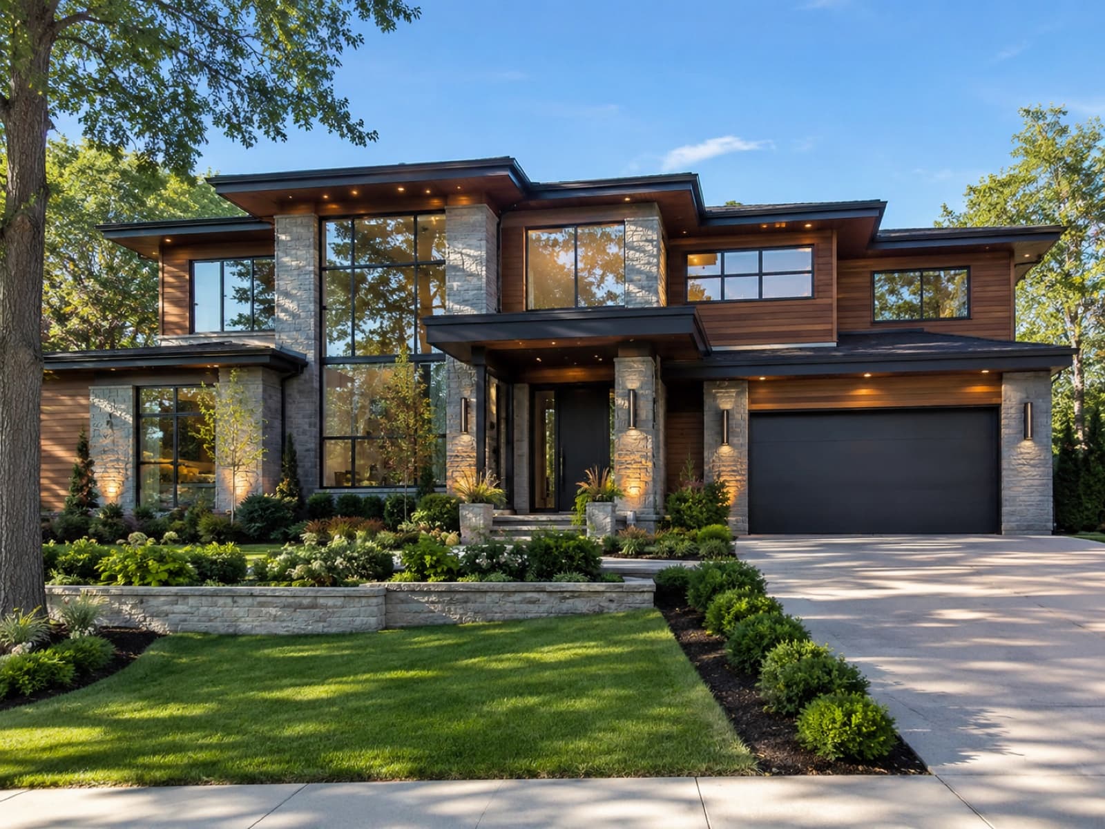
Measure on satellite
Type the address and draw straight on satellite imagery with Pan, Freehand, and Straight-line tools, snapping for clean lines, and true ground distances.
Roofline measuredType each run. Let pitch do the rest.
Tag every measured run by what it actually is. QuickMeasure applies automatic pitch correction and a material-waste buffer so you get plan length, pitch-corrected length, and a final estimate length you can trust.
Plan length
154 ft
Pitch-corrected
171 ft
Estimate length
185 ft
What you get
From pixels to a priced estimate
Measure a property's roofline, gutters, windows, and more — every run is auto-priced against your own rate card and rolls up into linear feet, a cost breakdown, and an estimate.
Photo measuring with true 4-point correction
Drop a rectangle on a known object or draw a reference line and the tool converts pixels to real feet with full perspective correction — even on angled or aerial shots.
Satellite measuring
Pan, Freehand, and Straight-line tools over satellite imagery, with snapping for clean runs and true ground distances for real-world accuracy.
Roof-aware segment typing
Tag every run as eave, gutter, ridge, hip, valley, rake, or dormer. Automatic pitch correction and a material-waste buffer slider produce plan length, pitch-corrected length, and final estimate length.
A live cost engine
Each line is tagged to a catalog category, multiplied by its per-foot rate, and grouped into a running total linear feet and estimated cost as you draw.
Editable rate card, saved per customer
Keep a per-org rate card alongside your catalog. Measurements persist per customer and flag which still need an estimate or are aging past 14 days.
One-click convert to estimate or mockup
Turn any saved measurement into a priced estimate or an AI mockup in a single click — every linear foot and line item carried straight over, nothing re-entered.
Bids that used to need a site visit
Every measured run is tagged to a catalog category and multiplied by its per-foot rate from your editable per-org rate card. Consistent pricing, no risky ladder time, and an estimate built straight from your desk.
Live cost engine
Each line multiplies feet by its per-foot rate and groups into a running total.
Editable per-org rate card
Stored alongside your catalog — change a rate, the estimate updates.
Aging & estimate flags
Measurements persist per customer and flag what still needs an estimate or is past 14 days.
Measure more. Climb less. Close faster.
QuickMeasure turns a photo or satellite view into priced linear feet in minutes — built into LightMaster, with your own rate card behind every number.